News
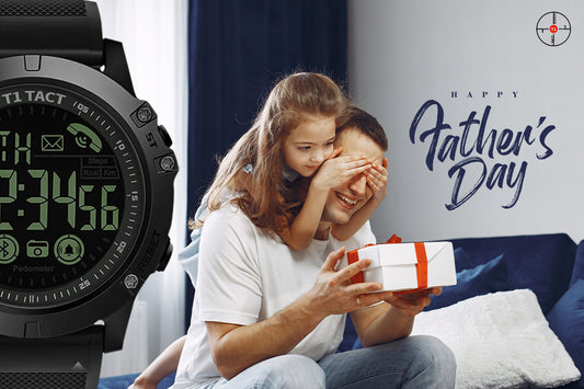
Rugged Watch: The Ultimate Father's Day Gift
Imagine the radiant smile that will illuminate your Father’s face as he unravels a thoughtful gift chosen to reflect his very being. Father's Day is not merely a date on...
Rugged Watch: The Ultimate Father's Day Gift
Imagine the radiant smile that will illuminate your Father’s face as he unravels a thoughtful gift chosen to reflect his very being. Father's Day is not merely a date on...
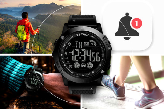
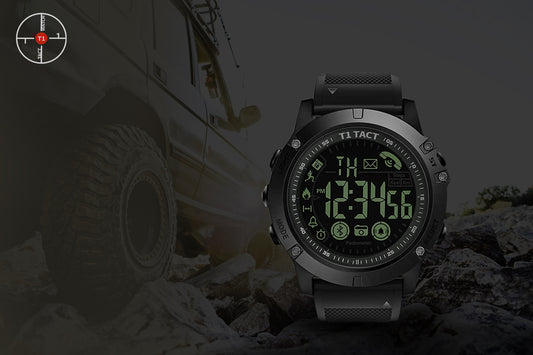
Exploring the Advanced Features of the T1 Tact ...
With over 216.43 million smartwatch users, the demand for new and improved wearables is on the rise. However, finding a timepiece that seamlessly combines cutting-edge technology and stylish design can...
Exploring the Advanced Features of the T1 Tact ...
With over 216.43 million smartwatch users, the demand for new and improved wearables is on the rise. However, finding a timepiece that seamlessly combines cutting-edge technology and stylish design can...
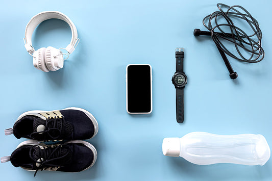
15 Must Have Accessories for Every Avid Runner:...
Did you know that runners are 27% less likely to die? Yes, running can actually help you live longer. It is an excellent form of exercise that provides numerous health...
15 Must Have Accessories for Every Avid Runner:...
Did you know that runners are 27% less likely to die? Yes, running can actually help you live longer. It is an excellent form of exercise that provides numerous health...
Track Your Fitness with the T1Tact Midnight Dia...
Fitness trackers are currently seeing a huge surge in popularity, as people become more aware of the importance of staying active for their health. Wearable technology is helping people stay fit
Track Your Fitness with the T1Tact Midnight Dia...
Fitness trackers are currently seeing a huge surge in popularity, as people become more aware of the importance of staying active for their health. Wearable technology is helping people stay fit
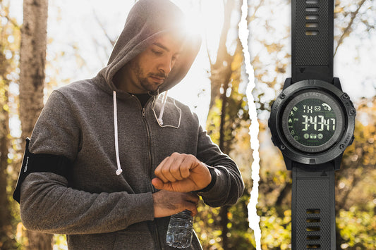
Why a Rugged Watch is an Essential Gear for Out...
A rugged smartwatch is (as the name suggests) a tougher, more durable version of a regular smartwatch. It's designed to withstand more wear and tear and can handle things like...
Why a Rugged Watch is an Essential Gear for Out...
A rugged smartwatch is (as the name suggests) a tougher, more durable version of a regular smartwatch. It's designed to withstand more wear and tear and can handle things like...

Tactical Smartwatch - The Ultimate Fitness Partner
In recent years, the use of wearable technology has skyrocketed, and for a good reason. One of the most popular wearable devices is the tactical smartwatch, which offers a range...
Tactical Smartwatch - The Ultimate Fitness Partner
In recent years, the use of wearable technology has skyrocketed, and for a good reason. One of the most popular wearable devices is the tactical smartwatch, which offers a range...